
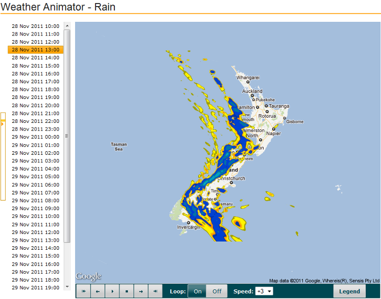
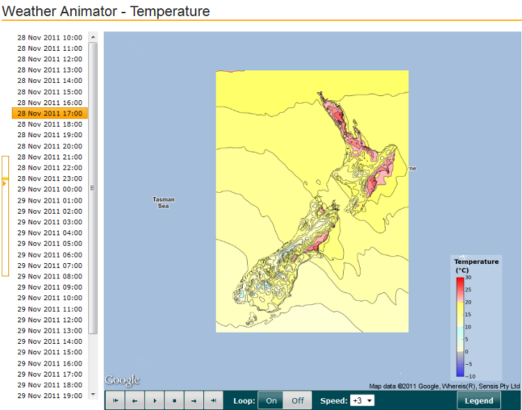
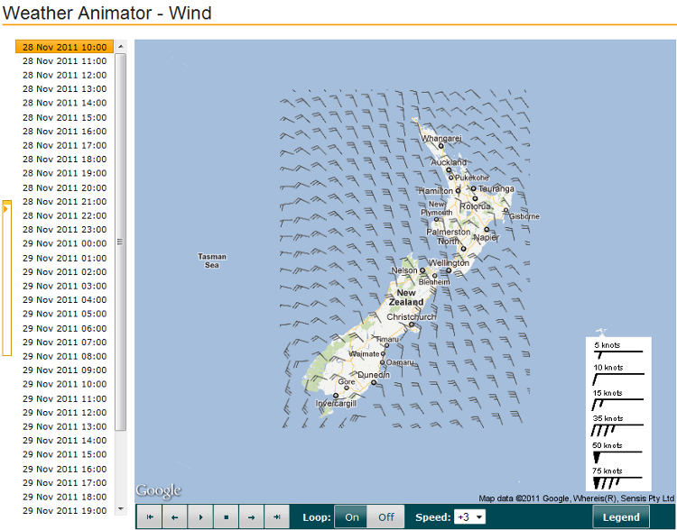
Weather Animator
The Weather Animator displays forecast Rain, Temperature and Wind imagery. Images are available hourly for up to 36 hours in the future.
Navigation
|
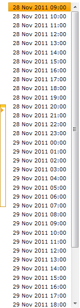
The navigation bar at the left of the Weather Animator shows the series of times at which forecast images are available. The forecast time for the current image is highlighted in orange. As the player buttons are used, the highlighted image time will alter accordingly. To alter the displayed image, hover the mouse on a time that is visible in the list. To quickly navigate through all the images available, hover across the orange bar available at the far left. |
 |
Player
Images can be animated using the player buttons, which operate as follows:
 |
Display the first image in the series |
 |
Display the previous image in the series |
 |
Play the images in sequence |
 |
Stop the images playing in sequence |
 |
Display the next image in the series |
 |
Display the last image in the series |
| When playing the images, treat the data series as a loop to jump from last to first and vice versa. | |
| Alter the speed at which images are played. Selecting a negative speed will play images in reverse order. |
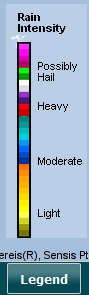
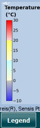
Legend
Use the legend button to view:
 |
 |
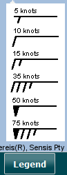 |
| Rain | Temperature | Wind |